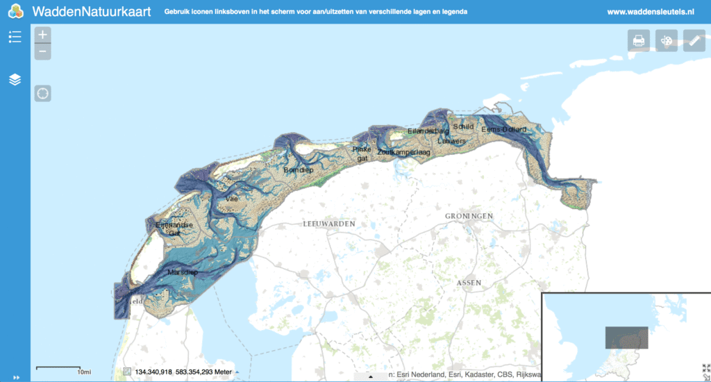
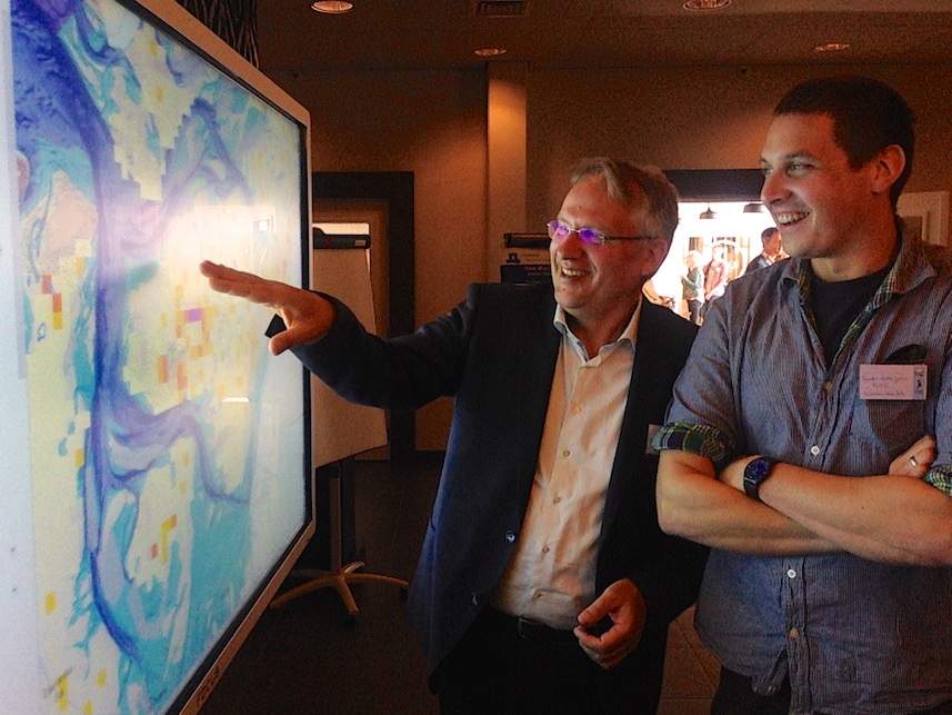
The Wadden Natuur kaart (Wadden Sea Nature Map) is now online: this is one of the publications of the Waddensleutels project on which I worked in the last 2+years. You should definitively explore and test it. For example; activate the benthos hotspot layer (upper left) and see which areas are most interesting as foraging areas for birds. Or check out where intertidal musselbeds occured for 5 years or more (in last 17 years). Or combine a map of shrimp fishery intensity and biodiversity. Our newly developed habitat map allows you to do these analysis per habitat type. Have a go at it. Use this interactive map to make your own map using just your web browser, print it or download it or continue in a GIS program. In the photo you see Han Olff & Sander Holthuijsen exploring the map at a large touch screen during the symposium in Leeuwarden.
More Waddensleutels publications here